
Soil Surveys

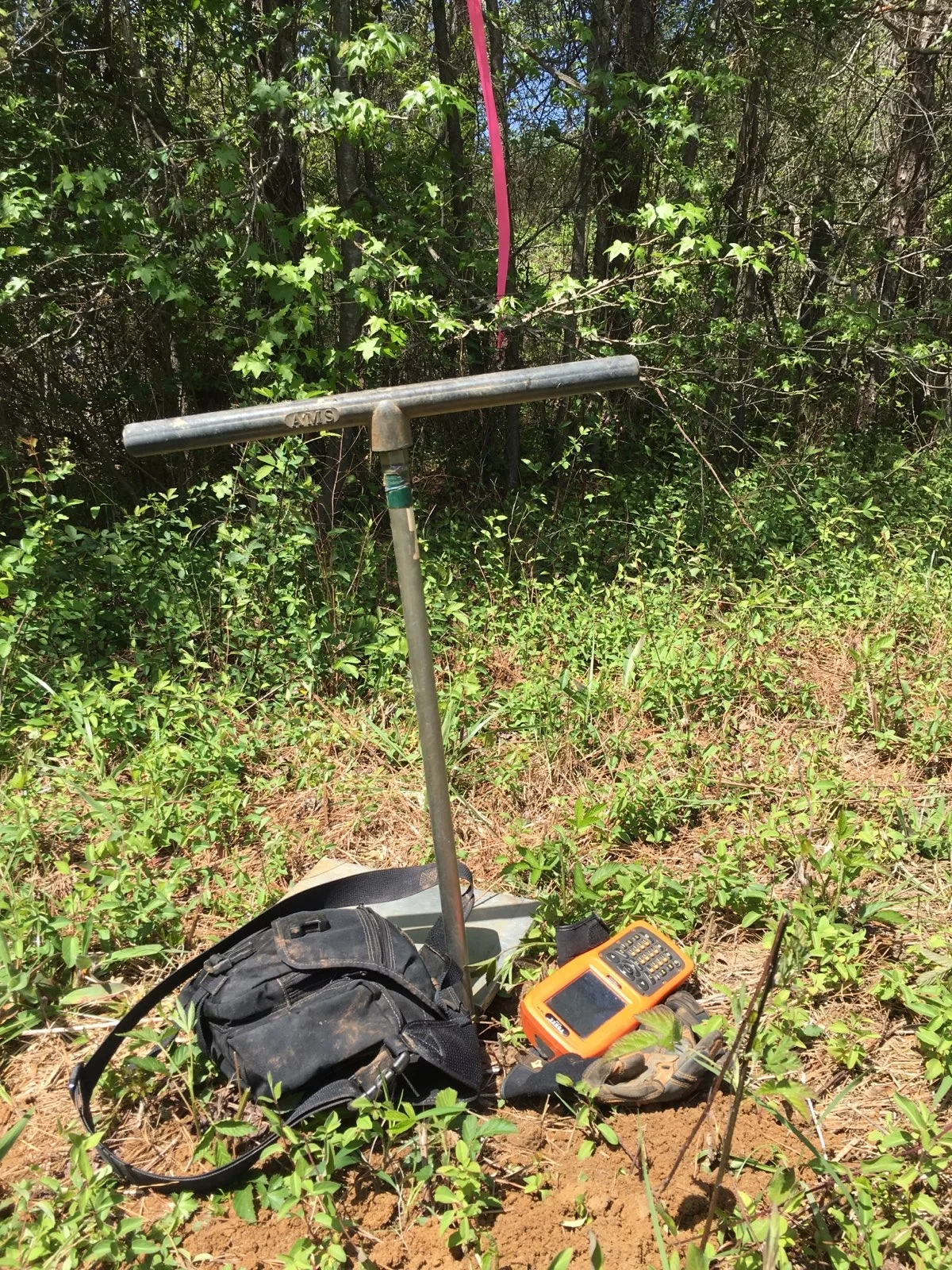
Types of Soil Surveys
Level 2
Level 2 Soil Surveys require at least one boring for testing per one acre of land. This is used for general findings of soil patterns of large tracts of land.
Level 3
Level 3 Soil Surveys are the minimum type of survey required by the State of Georgia Health Department for On-Site Sewage Management Systems and land sub-dividing. This requires at least four borings for testing per one acre of land.
Level 4
Level 4 Soil Surveys are anything that surpasses four borings per acre. These are typically used for extremely detailed studies.

Georgia Soil Mapping is based in Oconee County, Georgia. If your county is not listed above, please contact us to inquire about your location. *PAYMENT IS REQUIRED VIA PAYMENT PAGE PRIOR TO STUDY DATE OR ON-SITE IN THE FORM OF CASH OR CHECK THE DAY OF STUDY*